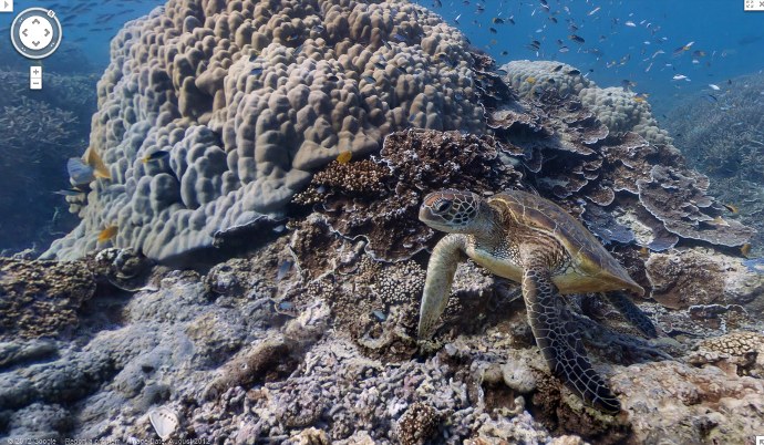
Back in February I blogged about Google teaming up with the University of Queensland and the Catlin Group to produce an underwater street map of the Great Barrier Reef. Today Google has launched the new Reef Street View with views of the Wilson, Heron, and Lady Elliot Islands (Great Barrier Reef), Molokini Crater and Hanauma Bay (Hawaii), and Apo Islands (Philippines).
Now you can virtually dive using the power of Google Maps to swim with sea turtles, see ancient boulder corals in the Philippines, dive with snorkelers in Hawaii, and swim through Molokini Crater in Hawaii. Check out the entire underwater collection when you have plenty of free time as it will suck you in!
(via Google Blog)


0 Comments